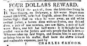
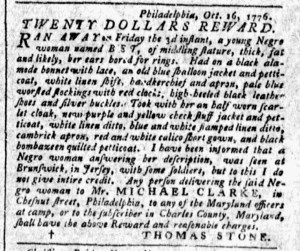
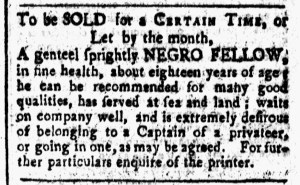
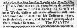
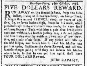
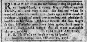
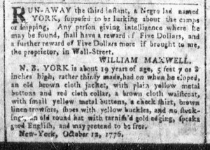
What was advertised in a revolutionary American newspaper 250 years ago today?
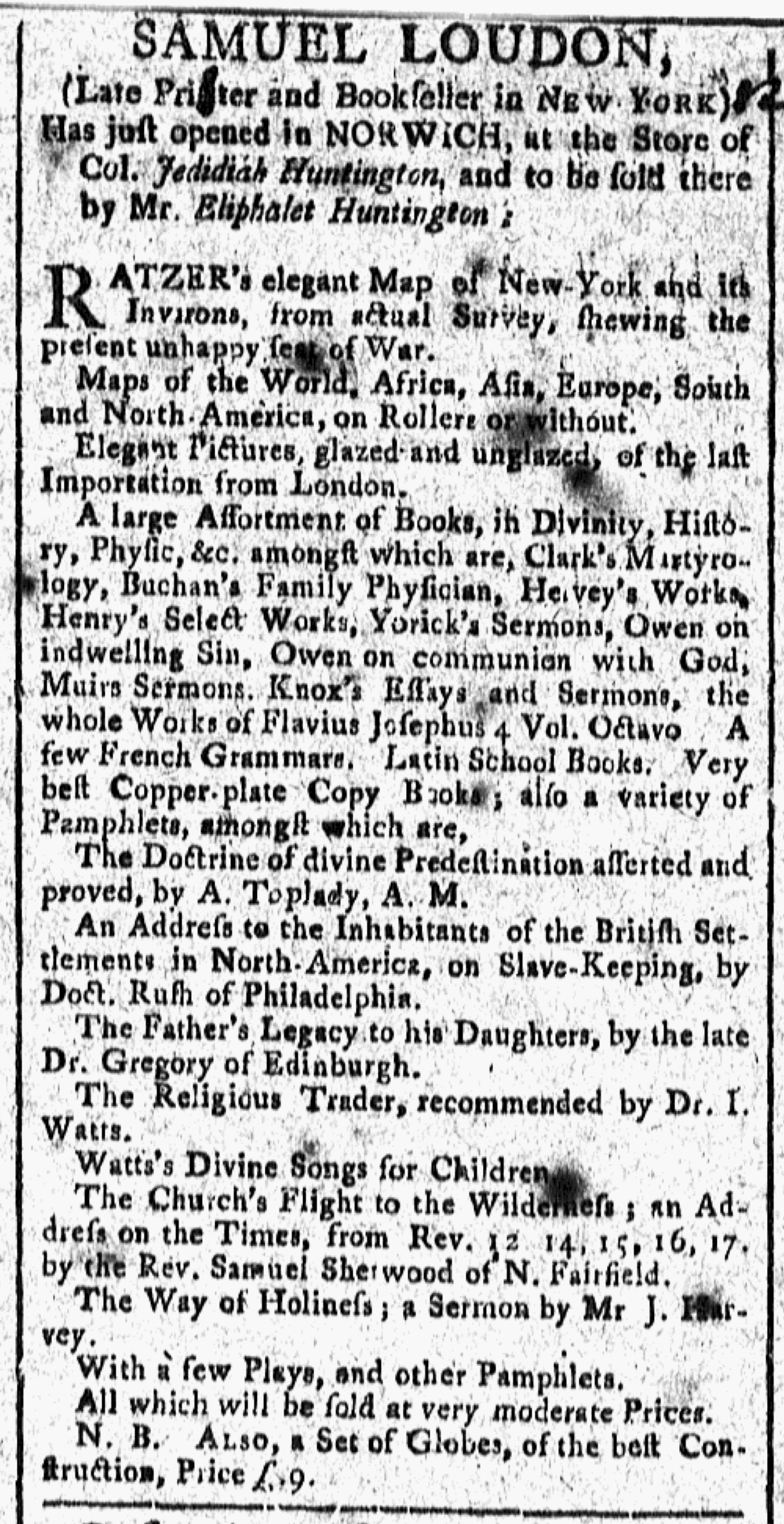
“SAMUEL LOUDON, (Late Printer and Bookseller in NEW YORK).”
When the British invaded New York late in the summer of 1776, Samuel Loudon, a printer and bookseller who was, according to Isaiah Thomas, “decidedly a whig,” decided that it was time to suspend the newspaper he established in January, the New York Packet, and get out of the city.[1] In an advertisement in the September 2 edition of the New-York Gazette and Weekly Mercury, he announced that he was “removing his Printing-Office to FISH-KILLS, where the Provincial Congress now resides” because the “City of New-York, is now invaded by a powerful Fleet and Army.” He advised other “Inhabitants” of the city “to seek a Retreat ion the Country.” He resumed publication of the New York Packet in Fishkill on January 16, 1777, and continued printing it there throughout the war. After the war ended, Loudon returned to New York and once again published his newspaper there.
Before he managed to resume printing the New York Packet in Fishkill, Loudon got involved in another venture. The October 25, 1776, edition of the Connecticut Gazette, published in New London, carried an advertisement that announced that “SAMUEL LOUDON, (Late Printer and Bookseller in NEW YORK) Has just opened in NORWICH” a store that stocked a “large Assortment of Books, In Divinity, History, Physic,” and other subjects as well as “a variety of Pamphlets.” At first glance, it appeared that Loudon operated the store himself. After all, his name appeared in capital letters as the deadline for the advertisement. On closer inspection, however, readers learned that “Mr. Eliphalet Huntington” sold the books, pamphlets, maps, prints, and “a Set of Globes, of the best Construction” listed in the advertisement. Loudon and Huntington apparently entered some sort of partnership, perhaps on an equal basis or perhaps Loudon employed Huntington. Whatever the arrangement, they attempted to leverage the visibility that Loudon had achieved as a bookseller and, especially, the printer of the New York Packet, to entice prospective customers to visit the bookstore in Norwich or to send orders for any of the items listed in the advertisement. Curiously, the advertisement that ran in the Norwich Packet on October 21 did not mention Eliphalet Huntington at all. It deployed Loudon’s name as the headline, like the advertisement in the Connecticut Gazette, and stated that he “Has just opened at Col. JEDEDIAH HUNTINGTON’S Store … A Neat Assortment of BOOKS, to be Sold cheap.” Perhaps Huntington was merely an employee rather than even a junior partner. If that was the case, then, like so many artisans who received sole credit for the work of journeymen, apprentices, enslaved workers, and others who labored in their workshops, the proprietor of the new bookstore in Norwich was the public face of the business even though customers primarily or exclusively interacted with an employee.
**********
[1] Isaiah Thomas, The History of Printing in America with a Biography of Printers and an Account of Newspapers (1810; New York: Weathervane Books, 1970), 482.